The Palouse is a distinct geographic region covering about 4000 sq miles encompassing parts of north central Idaho, southeastern Washington, and, by some definitions, parts of northeast Oregon. It is characterized by gentle rolling hills covered with winter wheat and lentil fields. Ancient glaciers were responsible for the creation of this landscape. During the last several ice ages, glaciers advancing south from Canada ground up the bedrock as they passed over it, creating a fine rock dust known as glacier flour. The glacial flour washed out from the glaciers and accumulated in Glacial Lake Missoula. The Missoula Floods washed over eastern Washington and created several huge but temporary lakes. These lakes eventually drained and left behind monumental quantities of silt. Prevailing winds from the south west blew in the silt and dust to where it settled out into hills that look like giant sand dunes.
May-June is one of the best times to visit this area to experience and photograph the rolling hills, country barns, and old abandoned homes and sheds.

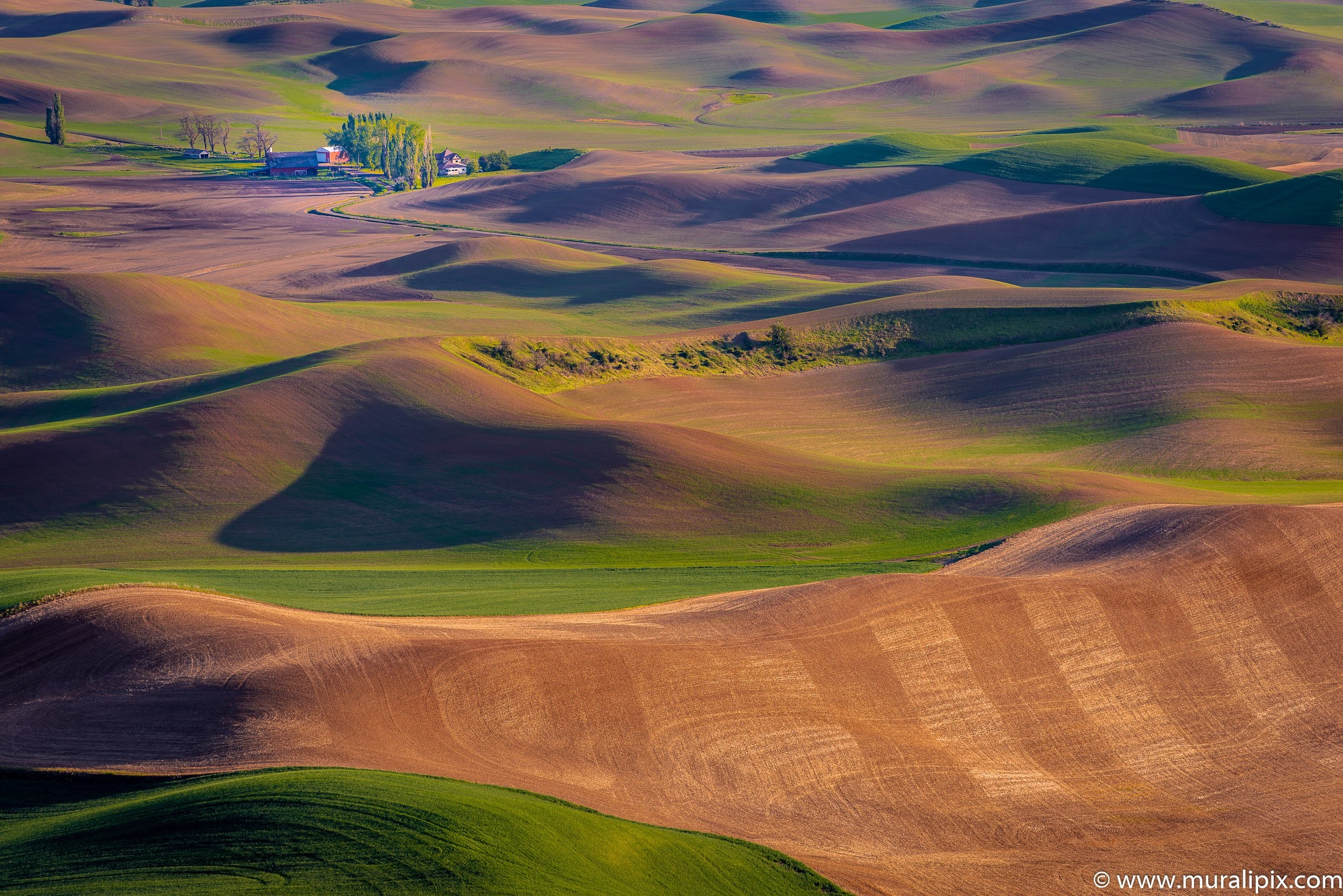
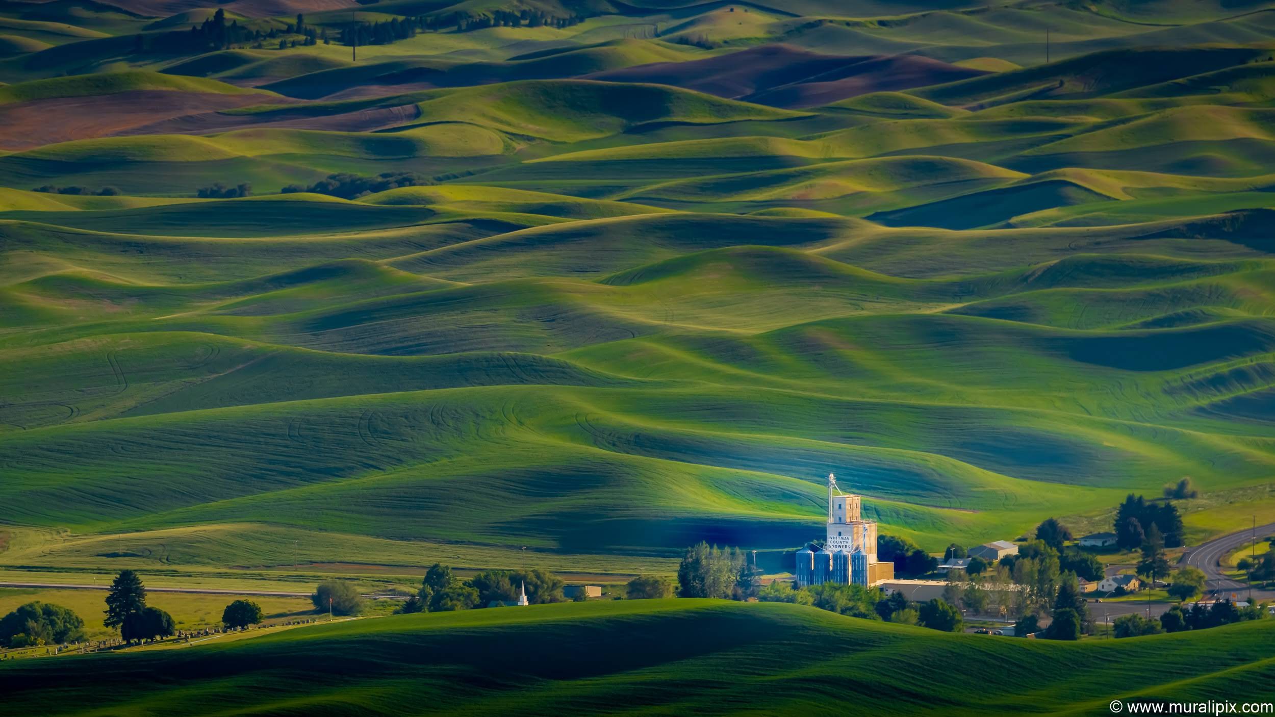
Steptoe Butte State Park
High above the Palouse Hills on the eastern edge of Washington, Steptoe Butte offers unparalleled views of a truly unique landscape. The warm bluff stands out against soft hills of green and mauve, an occasional barn dotting the landscape. Colors seem to shift and change in the light. I consider it to be the #1 spot for photography in the region.

47°1’57.871″ N 117°18’16.023″ W
47°1’45.346″ N 117°17’59.737″ W
47°1’53.709″ N 117°17’49.876″ W
47°1’53.709″ N 117°17’49.876″ W
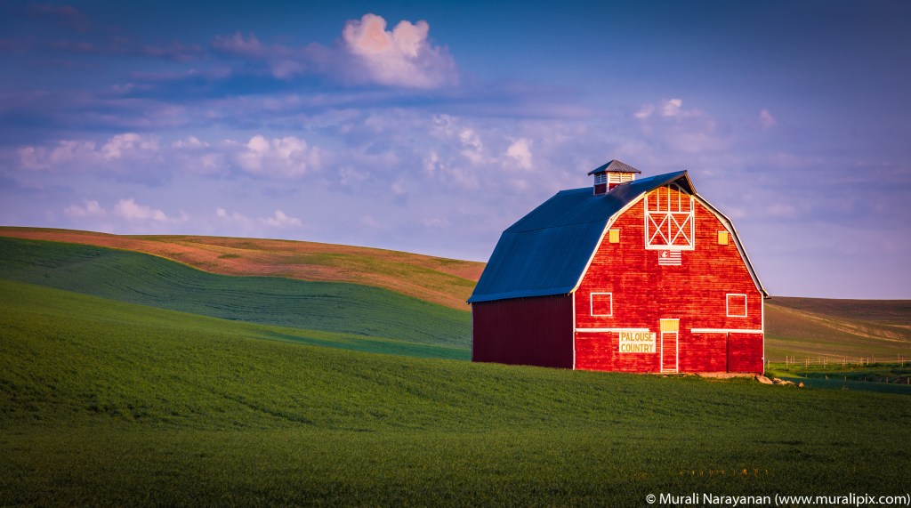
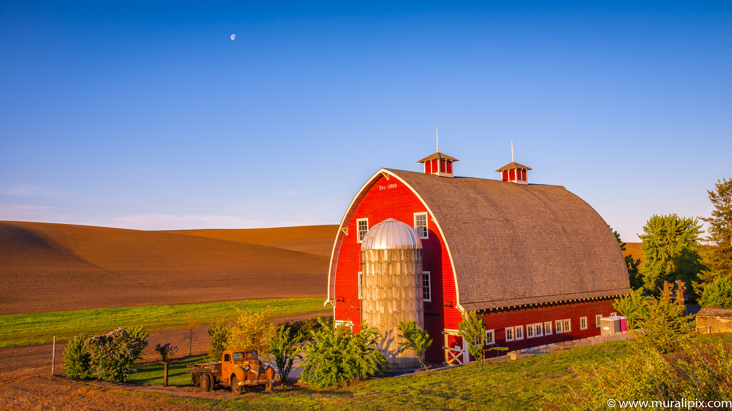
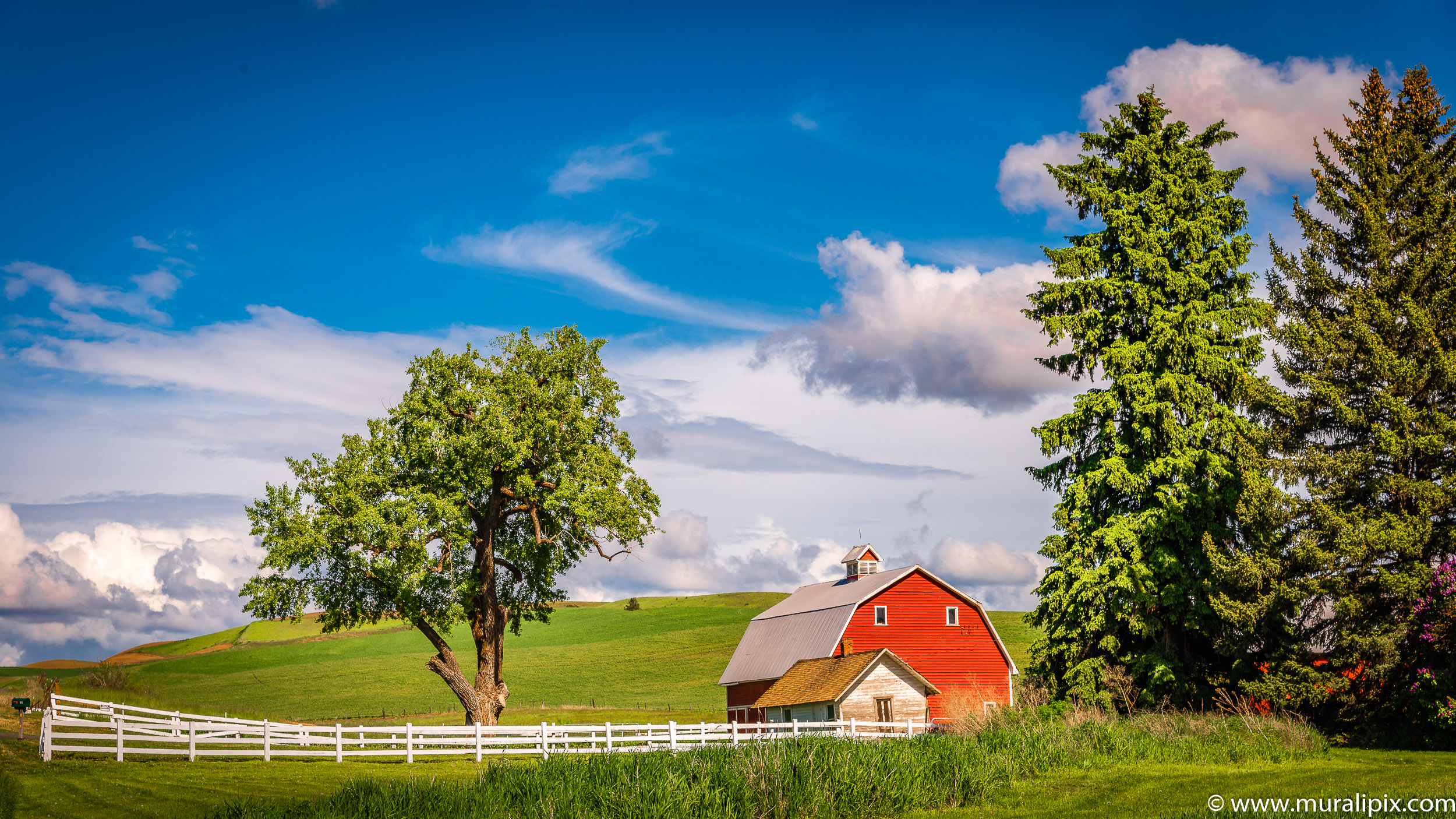
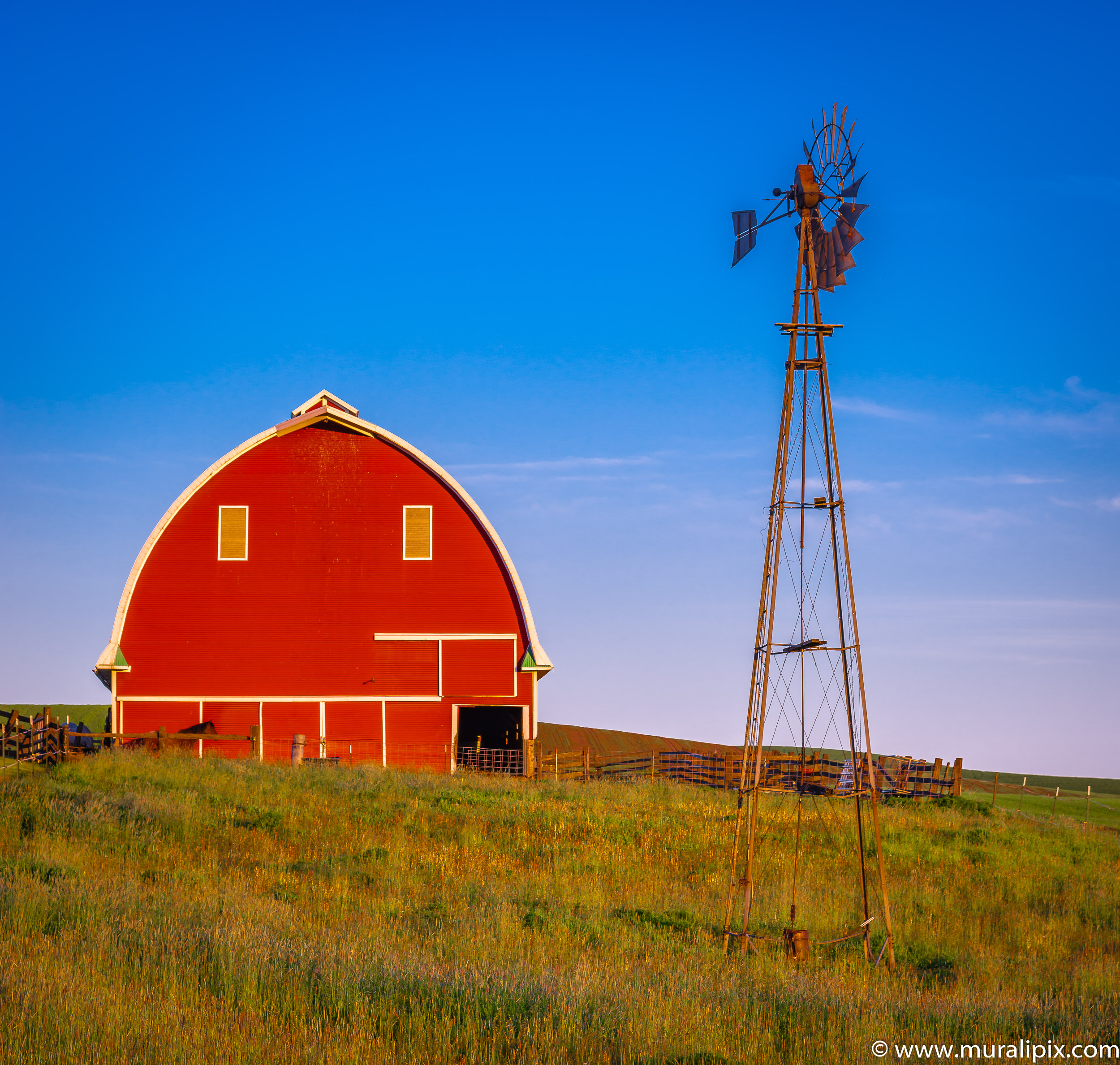
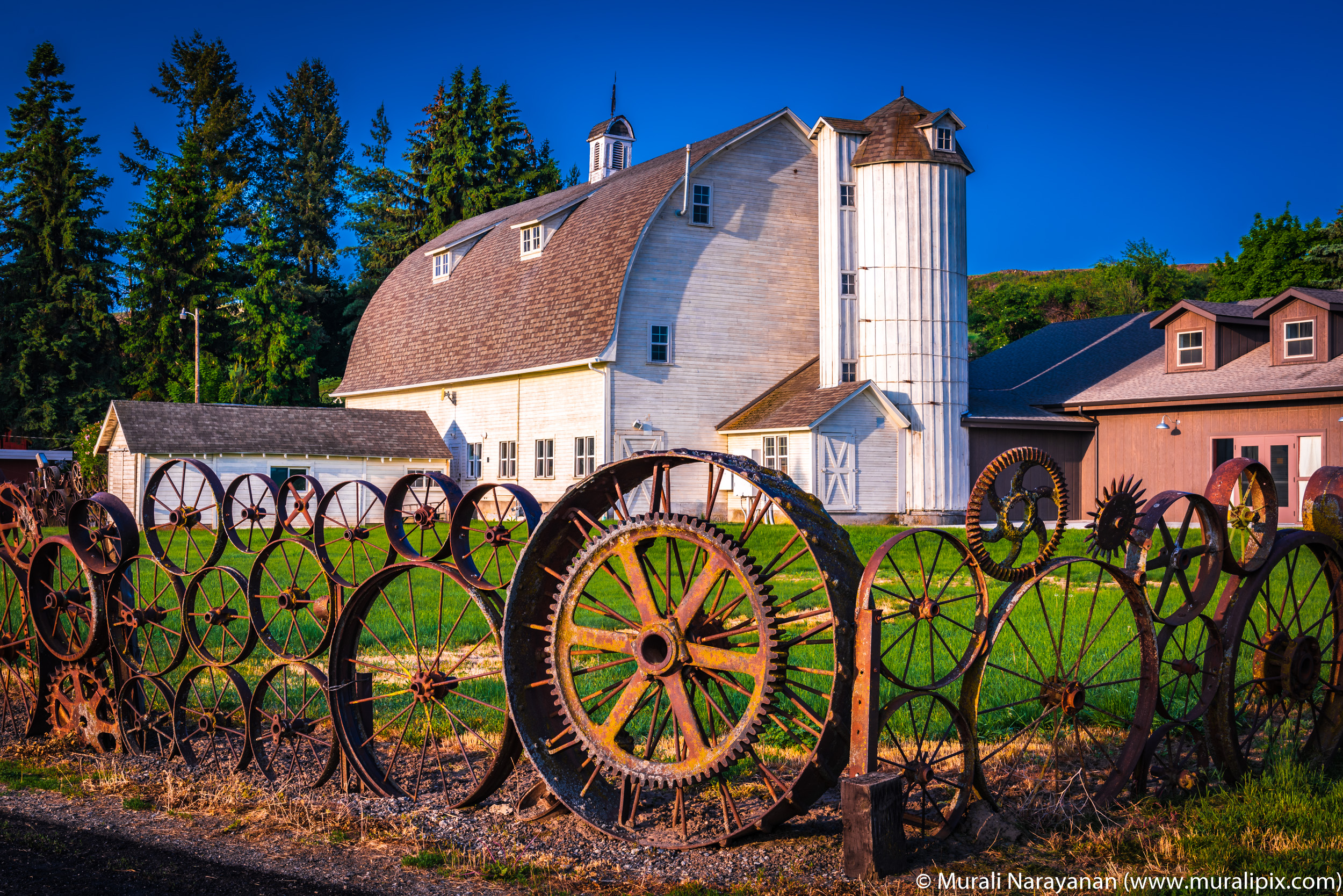
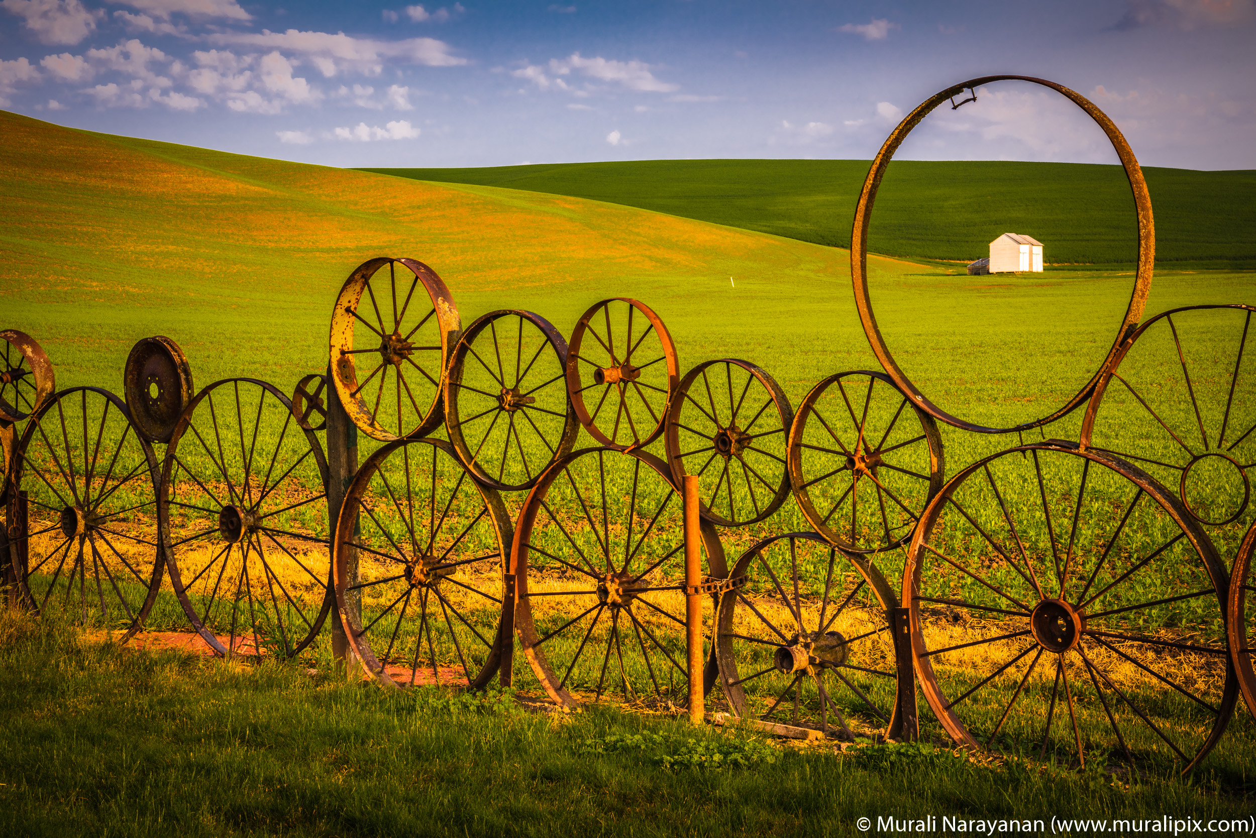
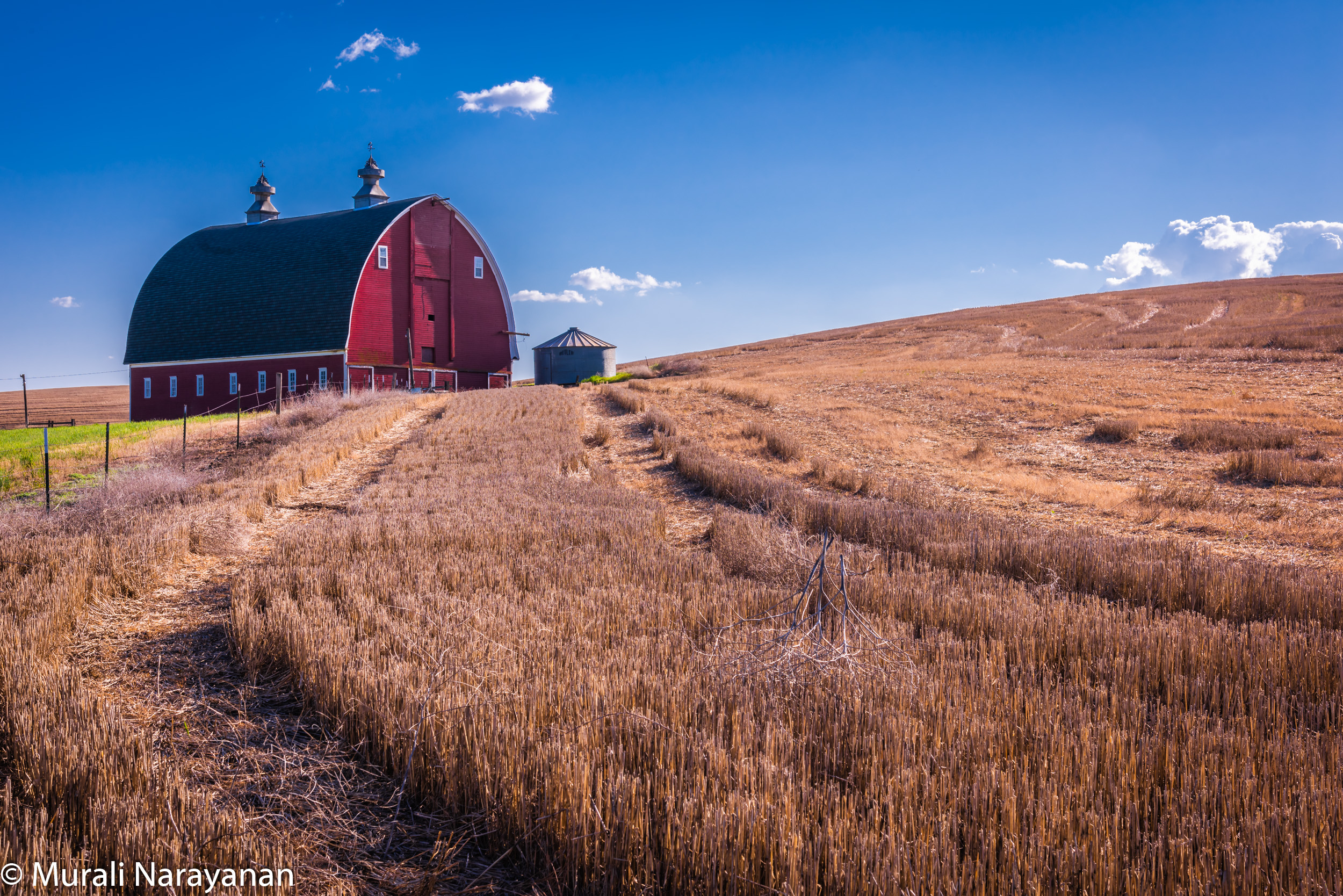
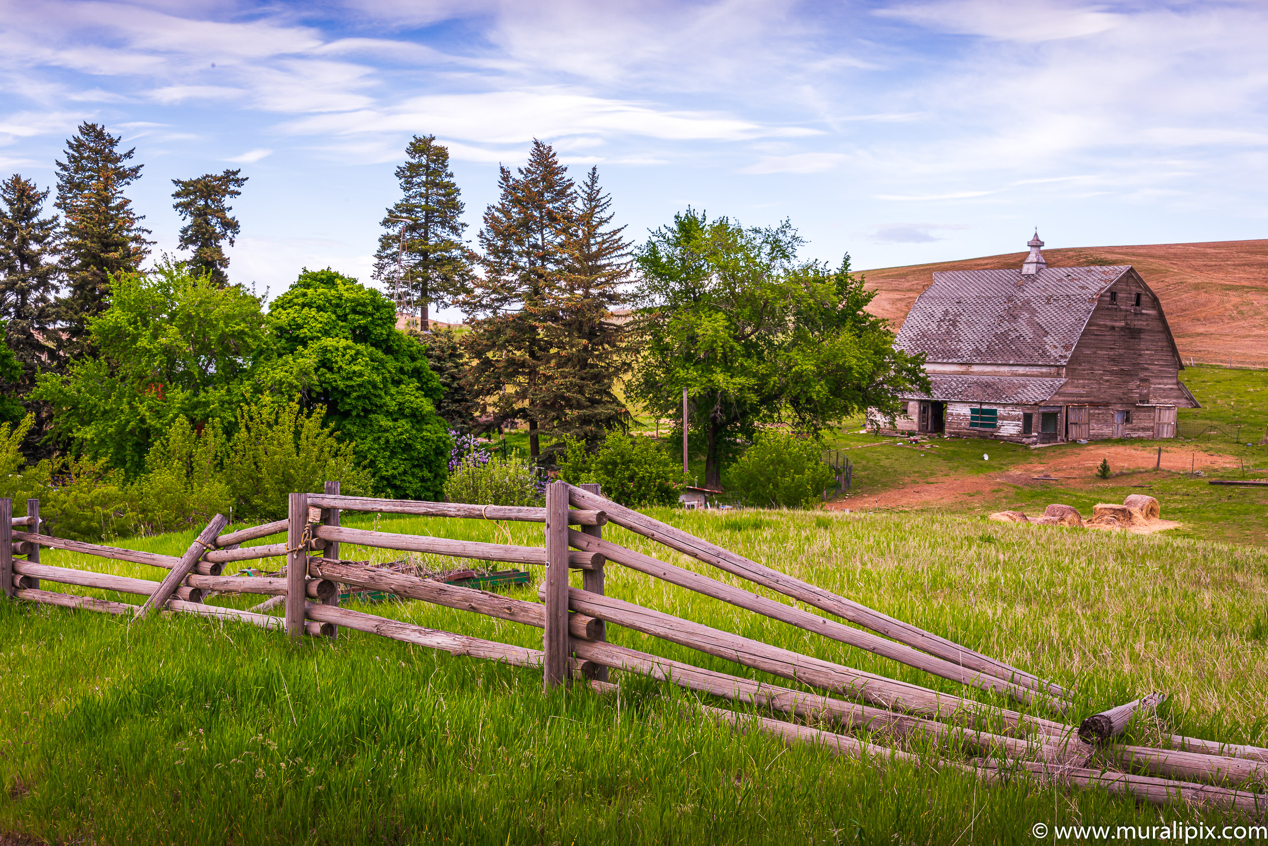
The Palouse Barns
A number of farms have barns and some of them have been painted in bright red color. Here are my top 12 barn images:
46°53’27.237″ N 117°19’58.248″ W
46°49’31.514″ N 117°19’26.663″ W

46°54’47.368″ N 117°21’3.758″ W

46°39’27.759″ N 116°58’59.217″ W

46°31’47.528″ N 117°5’6.572″ W
46°46’30.9″ N 117°17’30.358″ W
46°32’38.889″ N 117°5’30.796″ W
46°32’39.465″ N 117°5’33.46″ W
46°32’39.753″ N 117°5’27.913″ W

46°50’54.528″ N 117°16’46.678″ W
47°8’27.499″ N 117°49’45.836″ W

46°45’53.186″ N 117°16’22.893″ W

46°34’38.942″ N 117°9’1.9″ W
46°53’45.859″ N 117°20’2.453″ W
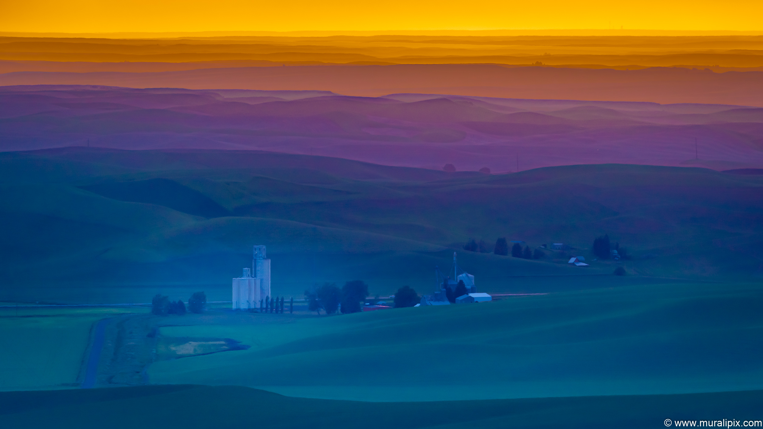
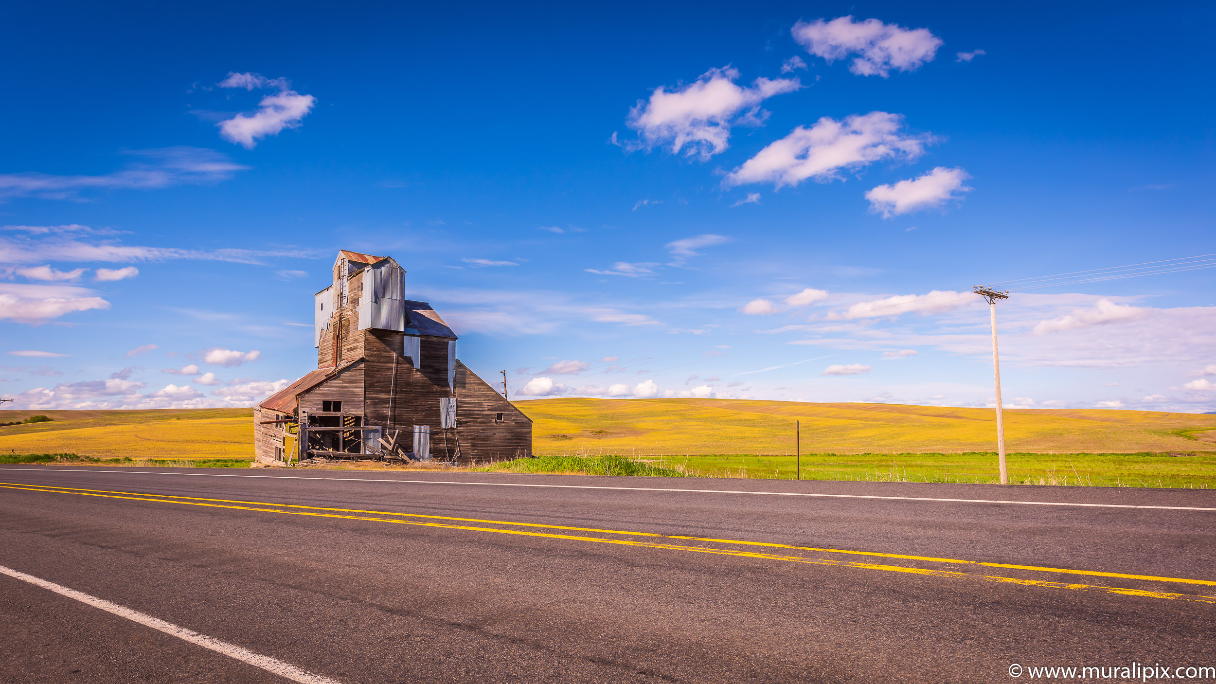
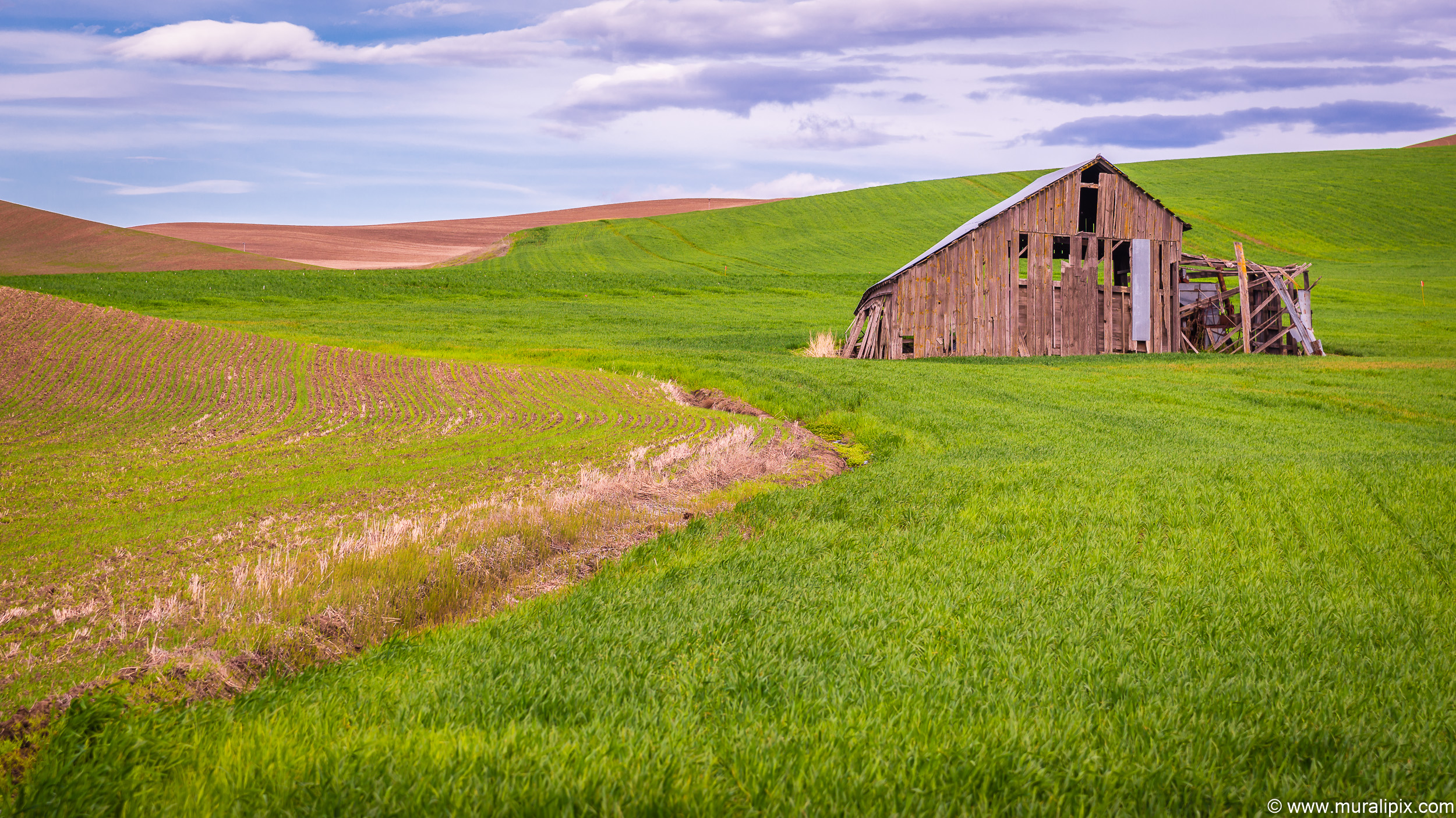
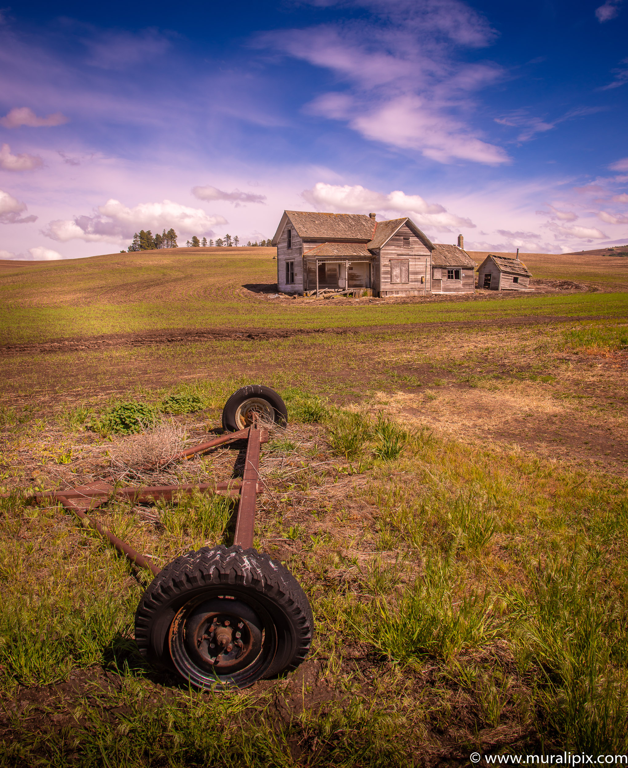
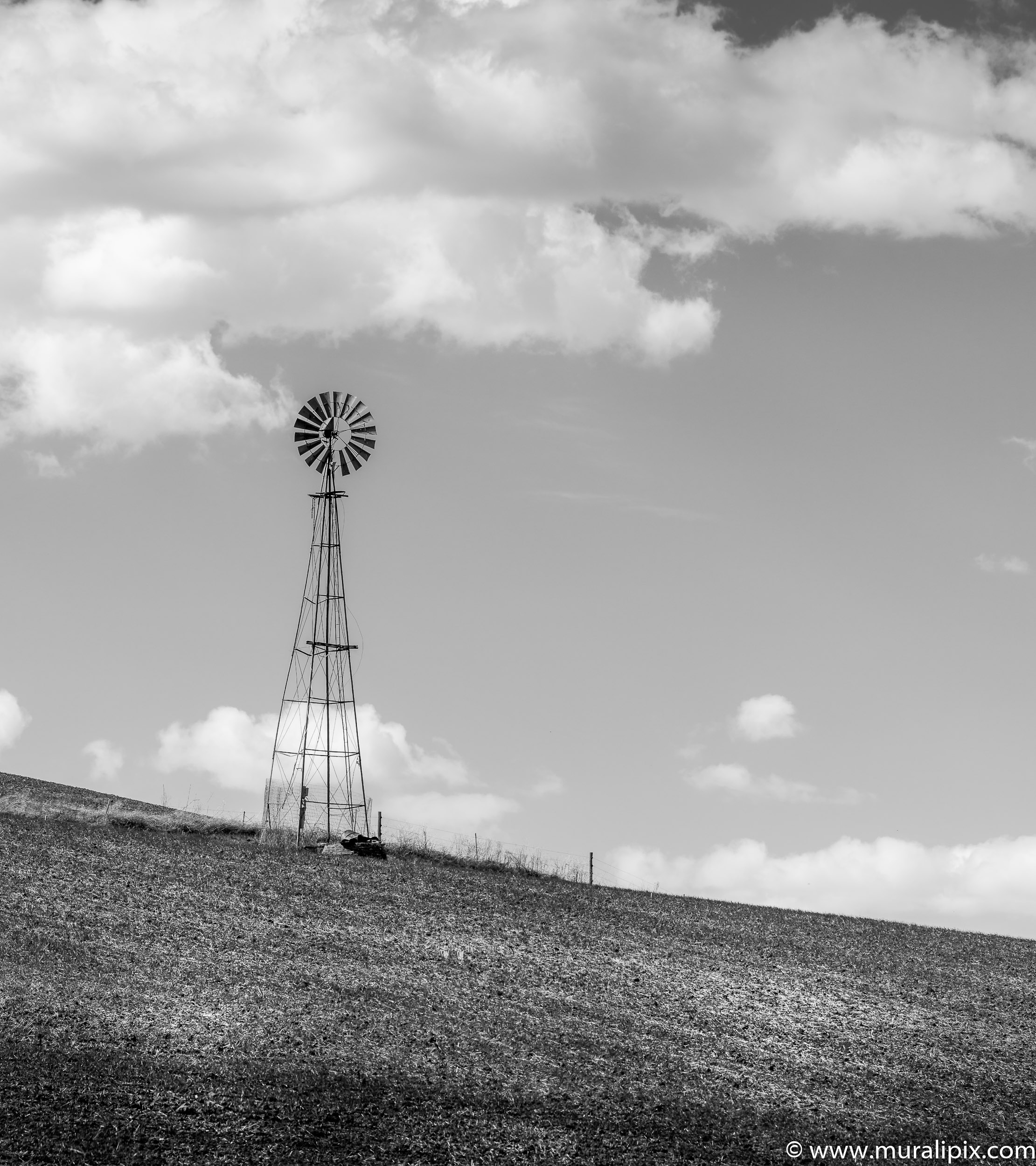
Abandoned Barns, Homes, and Grain Elevators
You will also encounter a few abandoned homes, grain elevators and barns while driving in The Palouse. Not sure how long these will last. Here are my favorites.
46°40’42.027″ N 117°11’40.981″ W
46°48’29.304″ N 117°19’6.56″ W
46°39’56.026″ N 117°5’52.286″ W

47°7’23.12″ N 117°15’56.908″ W

46°57’48.837″ N 117°39’17.314″ W
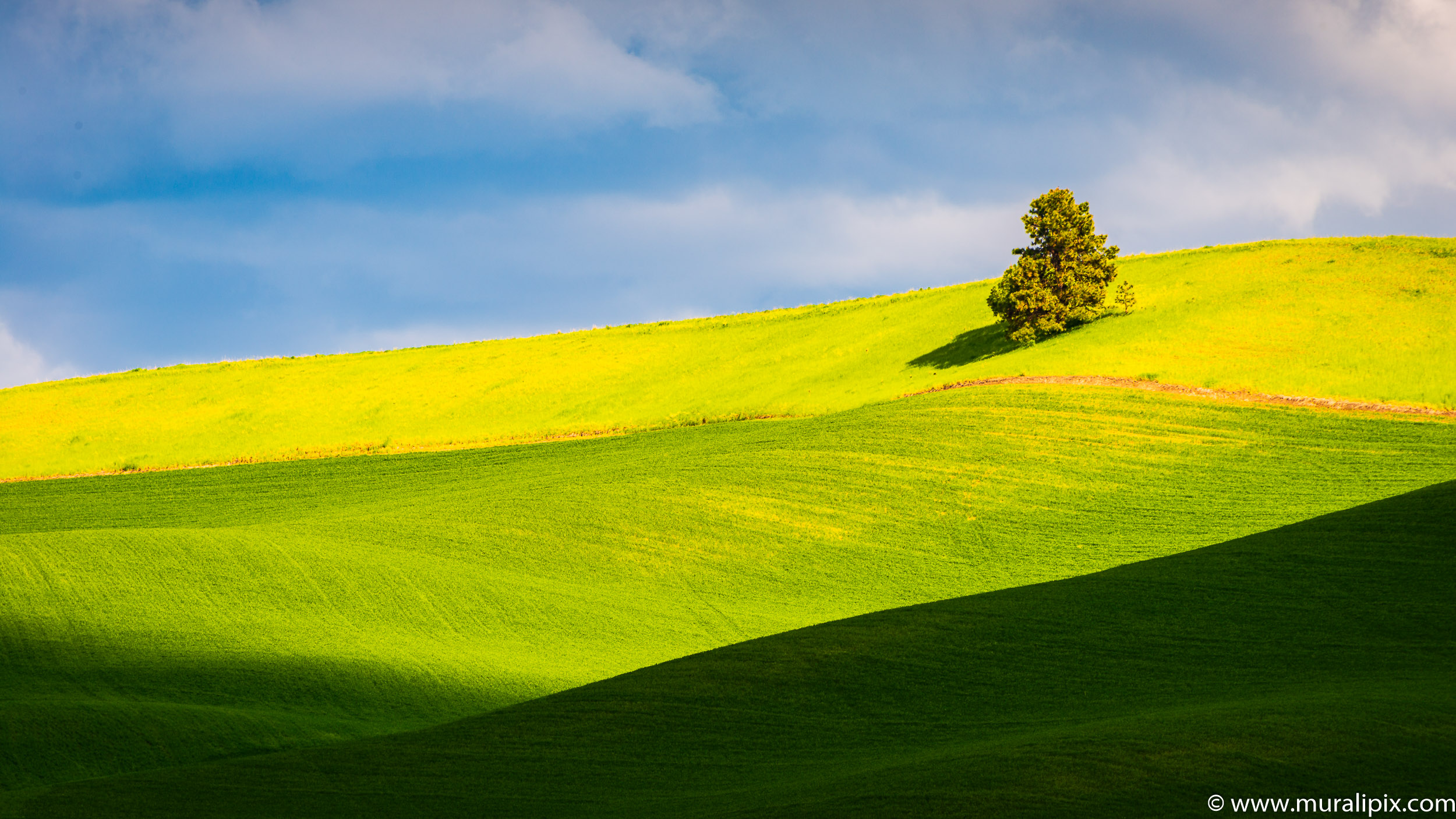
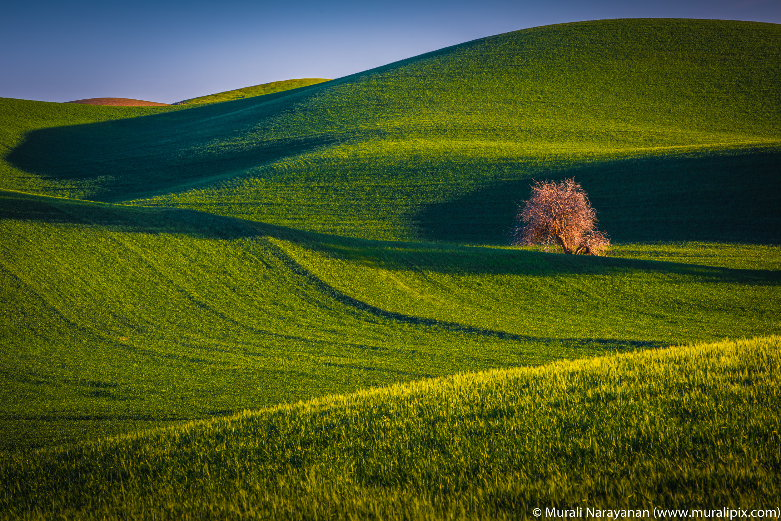
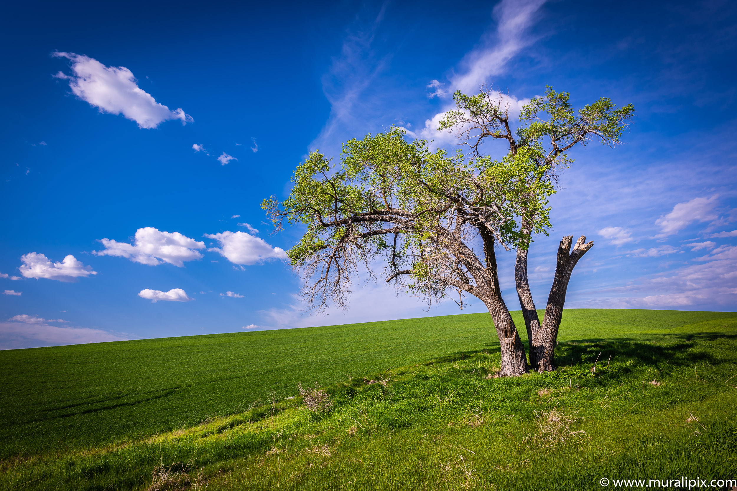
The Lonely Trees of Palouse
While driving along various rural roads in the Palouse, you will encounter lonely trees that stand out in the landscape. Key is to capture them when the light is perfect.
46°51’10.062″ N 117°14’20.338″ W
47°4’46.03″ N 117°19’49.407″ W
47°2’9.762″ N 117°14’52.763″ W
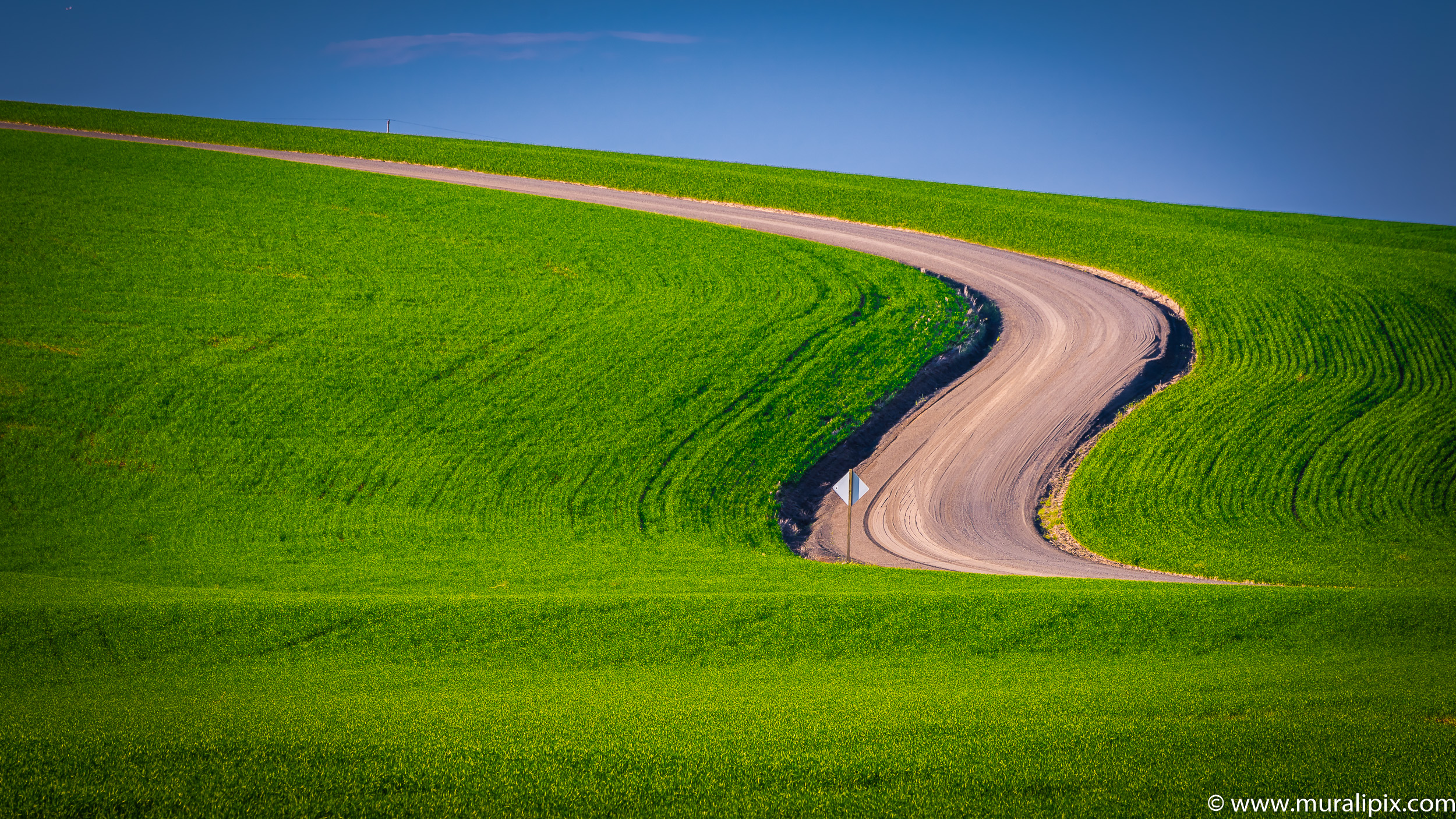
The Palouse Farmland
46°57’27.702″ N 117°39’47.08″ W
46°58’34.905″ N 117°16’23.62″ W

46°40’37.88″ N 117°12’48.574″ W

3 responses to “2019 Late Spring in The Palouse”
I love your photography.
LikeLiked by 1 person
Absolutely lovely scenary with fantastic lighting.
Love the photos
LikeLiked by 1 person
Love your captures. We’ll be back to the Palouse this spring.
LikeLike