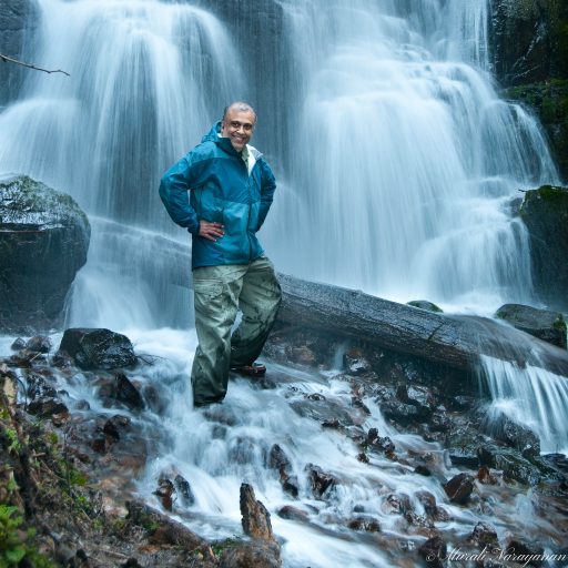

The Quinault Rain Forest, a temperate rain forest, is part of the Olympic National Park and the Olympic National Forest in the state of Washington. The forest receives an average of 12 feet of rain per year. There are 4 small but beautiful waterfalls along the creeks flowing from the Olympic mountain snow melts. Between mid April to early May is a terrific time to visit the rain forest due to less crowd as well as amount of water flow in the creeks. Last year, I went in late May and the water flow was reduced and the various falls didn’t look that impressive.
Willaby Creek & Willaby Creek Falls
Quinault Rain Forest Nature Trail is a 1/2 mile interpretive trail that provides an excellent opportunity to view the temperate rainforest. Overlooking Willaby Gorge, the trail follows Willaby Creek. At the intersection of the Lakeshore Trail, if you turn left (when walking from the trailhead), you can catch a glimpse of the Willaby Creek Falls from the foot bridge.
Falls Creek & Cascade Falls
You can hike the Quinault Loop Trail (#854) across the street from the Falls Creek Campground and you will reach the Cascade Falls at about 0.7 miles. Best time to photograph the falls is between April and early May. In the summer, the waterflow is considerably reduced.

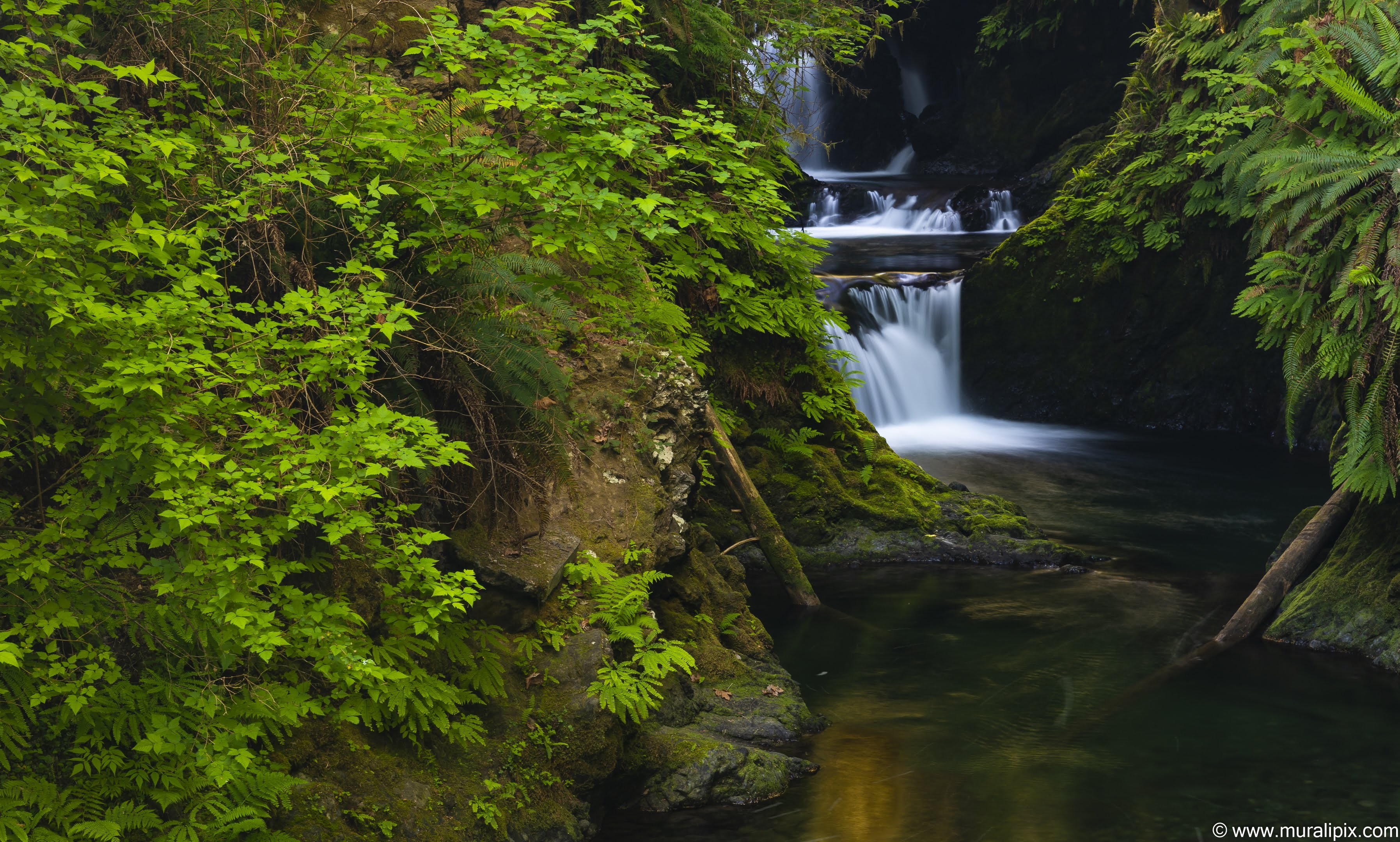
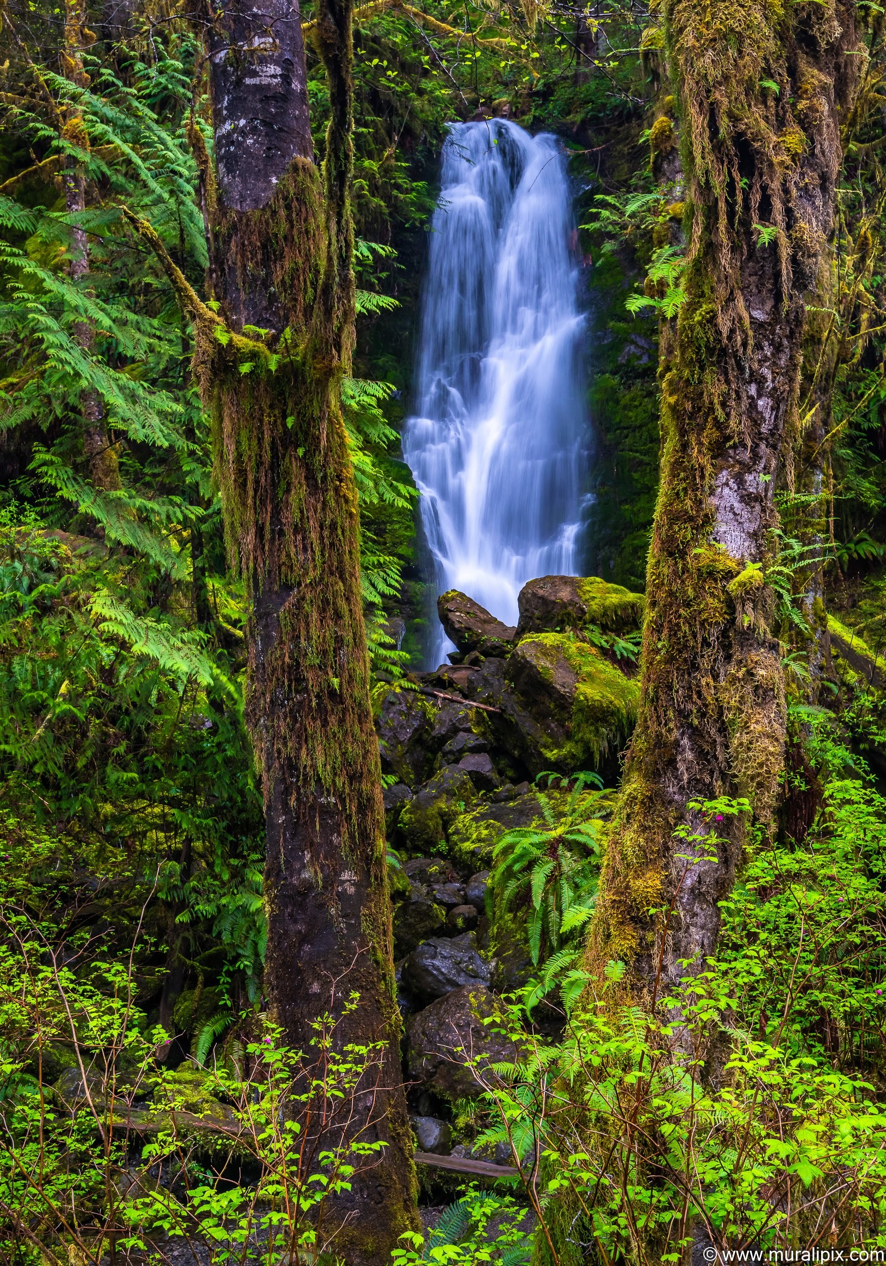
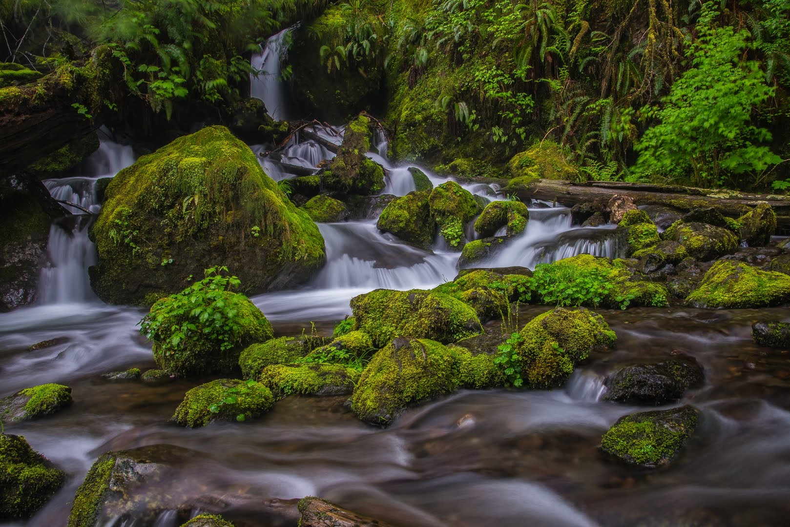
Gatton Creek & Gatton Creek Falls
The Gatton Creek Trail at Gatton Creek Trailhead on South Shore Road is just across from Gatton Creek Campground. From the trailhead the trail travels southeast following Gatton Creek to Gatton Creek Falls and links up to the Quinault National Recreation Trail System.
Combine two Gatton Creek Trails to make a loop (#888 and #854.2). You won’t be disappointed with this 3 mile loop through old growth forest, water-falls, moss, ferns, nurse logs, and champion Douglas Fir Trees.
For quicker access to the falls, drive the dirt road of “Wrights Canyon Road” and walk the 0.3 miles to the bridge and falls.
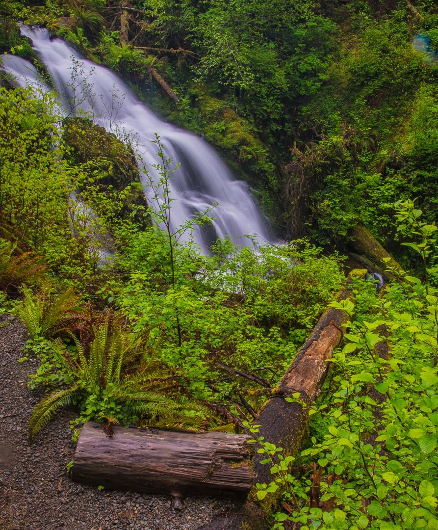
Merriman Creek & Merriman Falls
Merriman Falls is the most accessible waterfall in the Quinault Rain Forest. The falls plunge about 40 feet over a cliff before splashing through a pile of rocks and logs covered in all sorts of mosses and ferns and passing under the road towards the Quinault River. The falls are one of the most popular attractions in the Quinault area due to its ease of access, yet at the same time it is a very little known waterfall among the various popular waterfalls in the Olympics. Mid April to early May is the best time to visit the falls. I don’t mind spending a whole day around this beautiful waterfall.
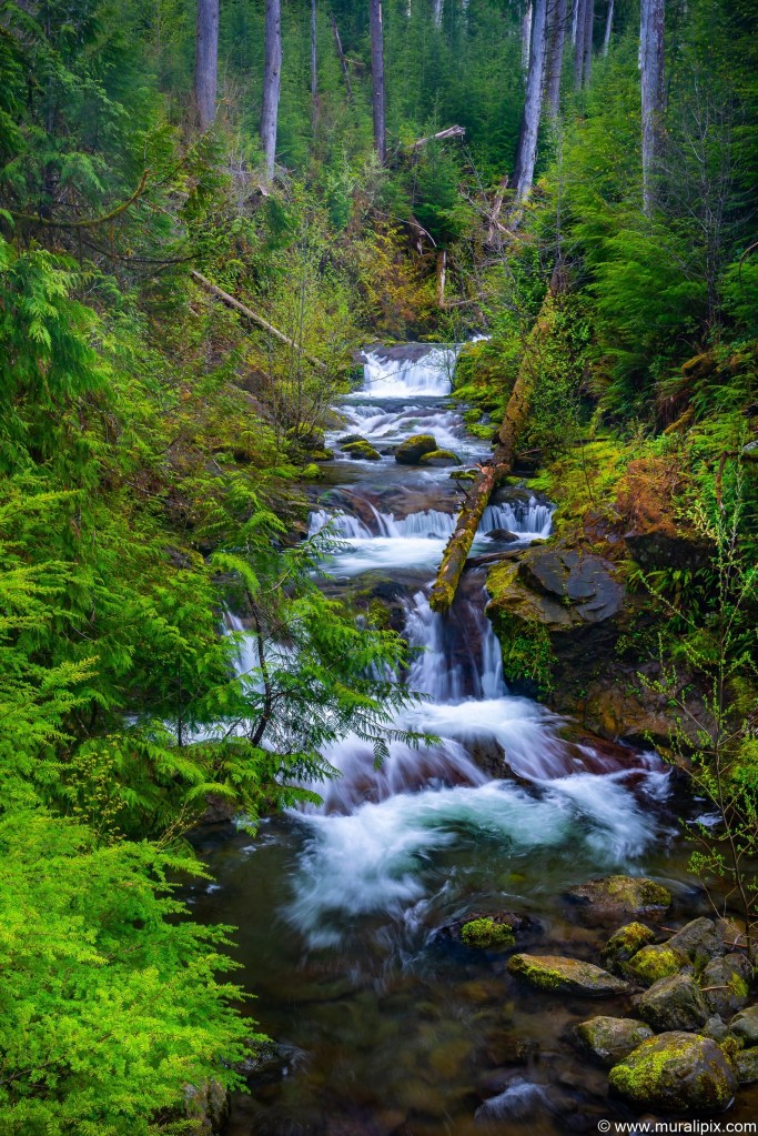
Bunch Creek & Bunch Creek Falls
Bunch Creek Falls is the last waterfall on the South Shore road before the bridge that takes you to the north shore. It is the tallest of the major waterfalls in the lower Quinault area, skipping about 60 feet down a mossy wall just feet inside the boundary of Olympic National Park. I recommend you photograph the fall from the road as the rocks are super slippery. The creek is also very beautiful to photograph.


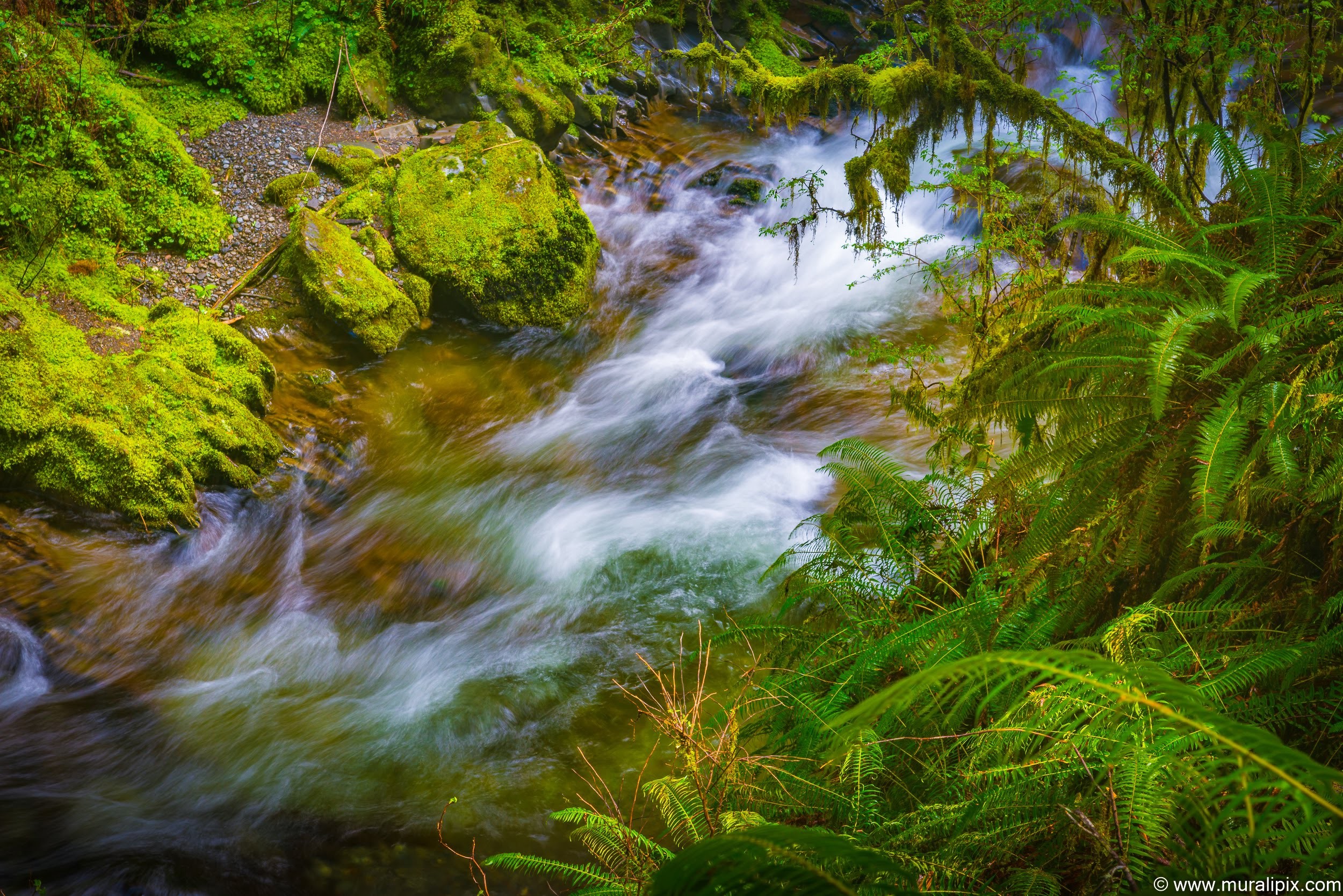
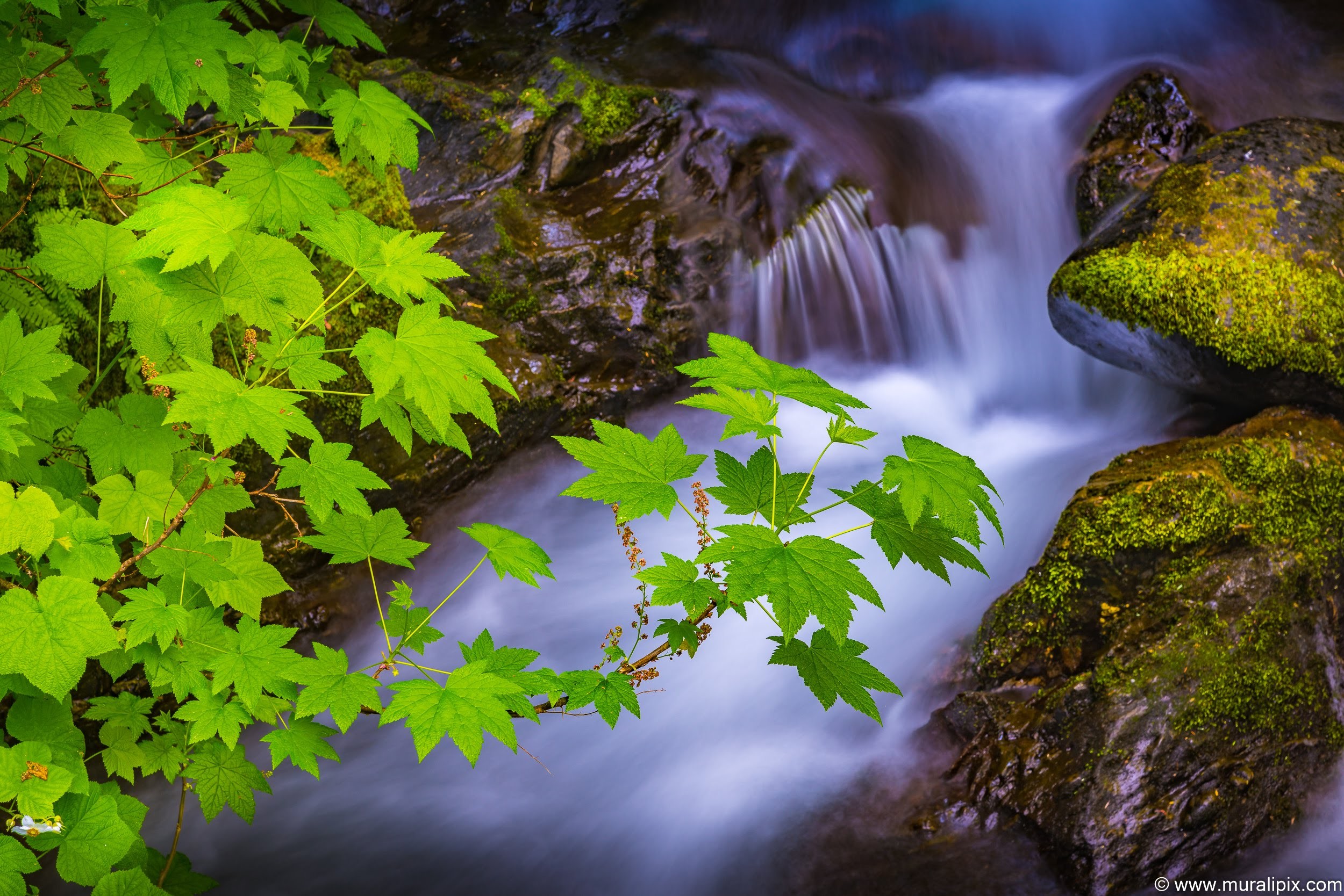
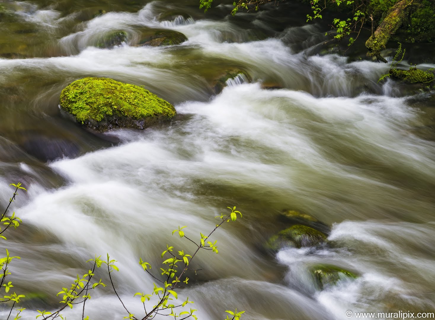
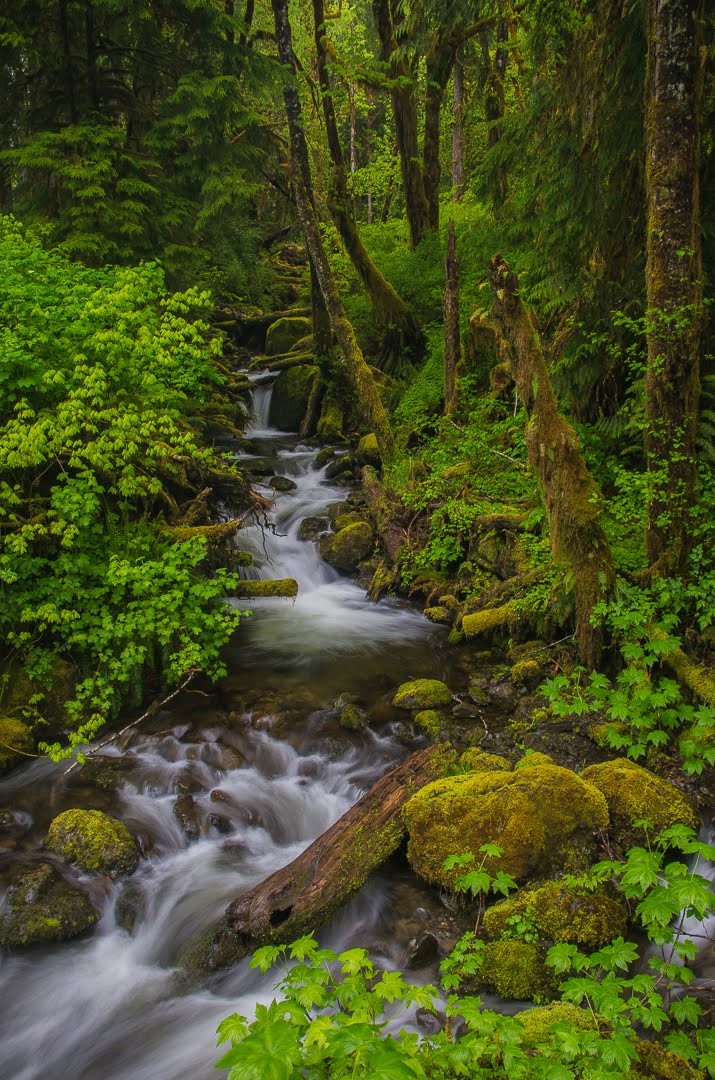
Along the South Shore Road, there are a few overlooked streams that are just beautiful. There is one near the Merriman Falls (I believe it is called Inner Creek) and another one next to the Bunch Creek Falls that are worthy of your time to photograph.


2 responses to “Waterfalls & Streams of the Quinault Rain Forest”
Beautiful pictures and very descriptive of the Rainforest. Good picture composition and depth. Feel like you are watching live! Congratulations, Murali.
LikeLike
Spectacular pictures, with the “Murali” explanations – Awesome !
LikeLike